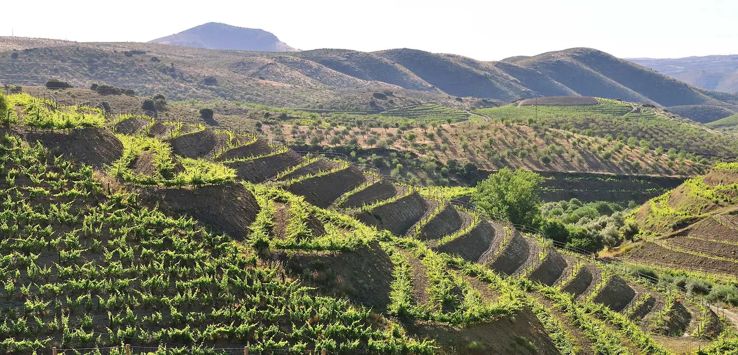
A landscape shaped by the vine.
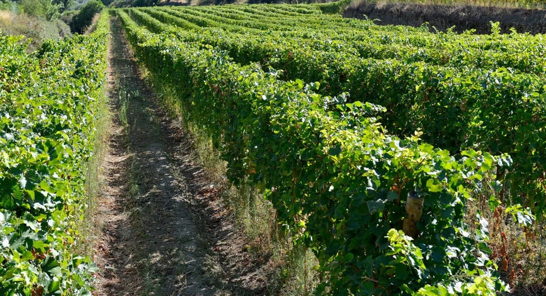
One of the first demarcated and continuously regulated wine regions, established in 1756, the Douro built over centuries a cultural landscape marked by terraces, estates, villages and paths tied to winemaking. The Alto Douro Wine Region was inscribed on the UNESCO World Heritage List in 2001.
At the eastern edge of the region, the Douro Superior stands apart for its dry climate, its mountain viticulture and its distance from the Atlantic influence.
Douro Superior
Dry summers, harsh winters and mountain viticulture.
Vale do Côa
An agricultural landscape and a millennial human memory, marked by prehistoric rock art.
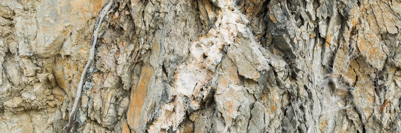
Schist and limestone
Stony, schist-based soils crossed by veins of limestone.
Altitude
Vines between roughly 300 and 400 metres, with different sun exposures.
Thermal amplitude
Warm days and cooler nights, favouring gradual ripening.
Sourcing by range
Palato do Côa and Vinha da Migalha come from the estate in Muxagata; Vinhas do Côa is Douro DOC and combines grapes from Quinta do Palato with grapes from another estate owned by partner João Magalhães.


Diversity with a common voice.
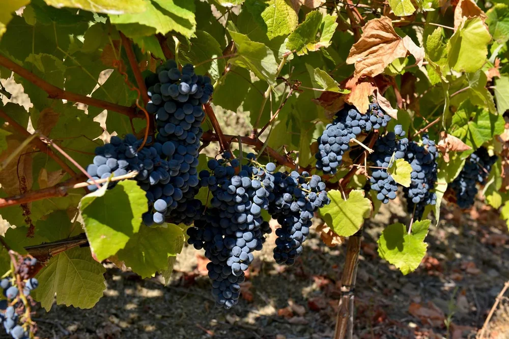
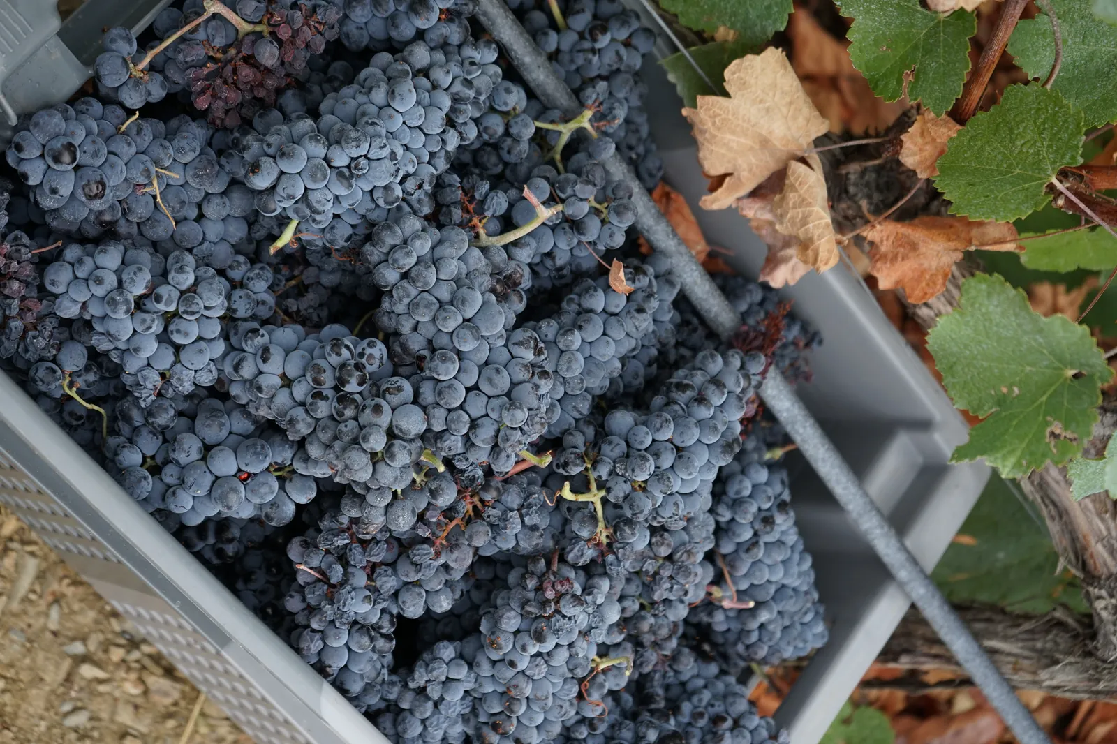
Rabigato, Viosinho and Códega do Larinho in the whites. In the reds, Touriga Nacional, Touriga Franca, Tinta Roriz — and Alicante Bouschet, the only red variety whose pulp is also red, giving colour and structure that no other variety delivers.
In the old vineyards, 46 varieties share the same plot, not all of them named. They were planted before anyone thought of separating them, and this field blend gives rise to the Grande Reserva and Vinha da Migalha.
What lies behind every bottle.

The Côa Valley and the Douro Superior: schist, limestone and temperature range
In the Douro’s easternmost interior, the Palato vineyard sits on schist run through with veins of limestone above pH 7.0 — a rarity in a Douro that is almost entirely acidic. Vineyard takes 22.7 of the estate’s 38 hectares, and the water comes from a reservoir dug in 2025.
Read →
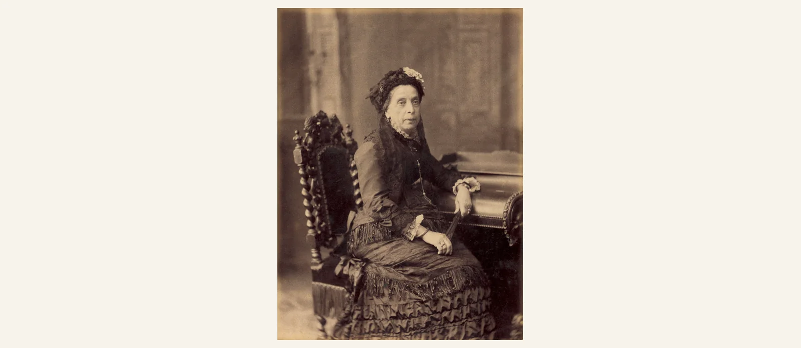
Dona Antónia Ferreira: the widow who invested in the Douro frontier
Widowed at 33, Dona Antónia Adelaide Ferreira became the leading Port wine businesswoman of the nineteenth century — and, rather than remaining in the established Douro, she broke new ground in the Douro Superior.
Read →
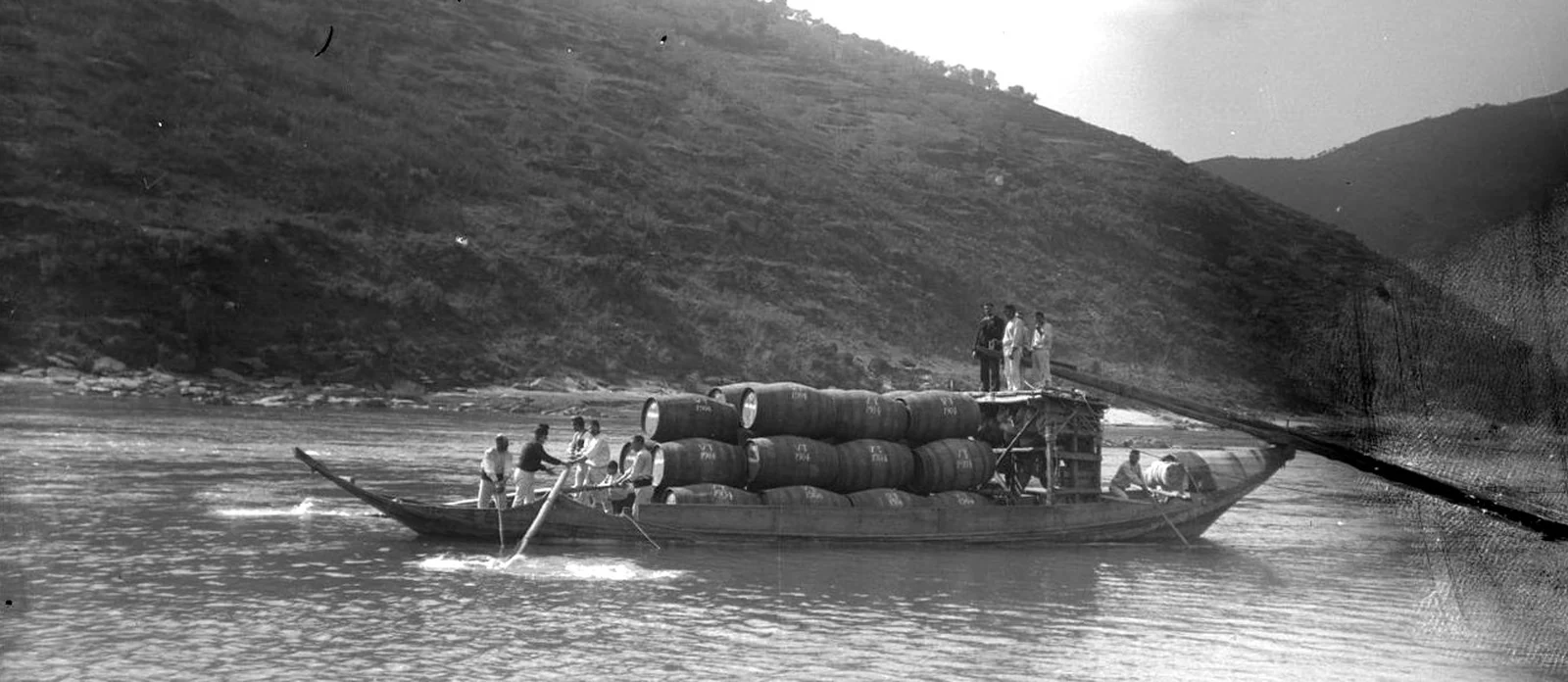
Cachão da Valeira: the gorge that opened the Douro Superior
Until the end of the eighteenth century, a wall of rock in the river blocked passage eastwards. Between 1780 and 1791, successive demolition works opened the passage: navigation upstream improved and the Douro Superior drew commercially closer to the rest of the region.
Read →
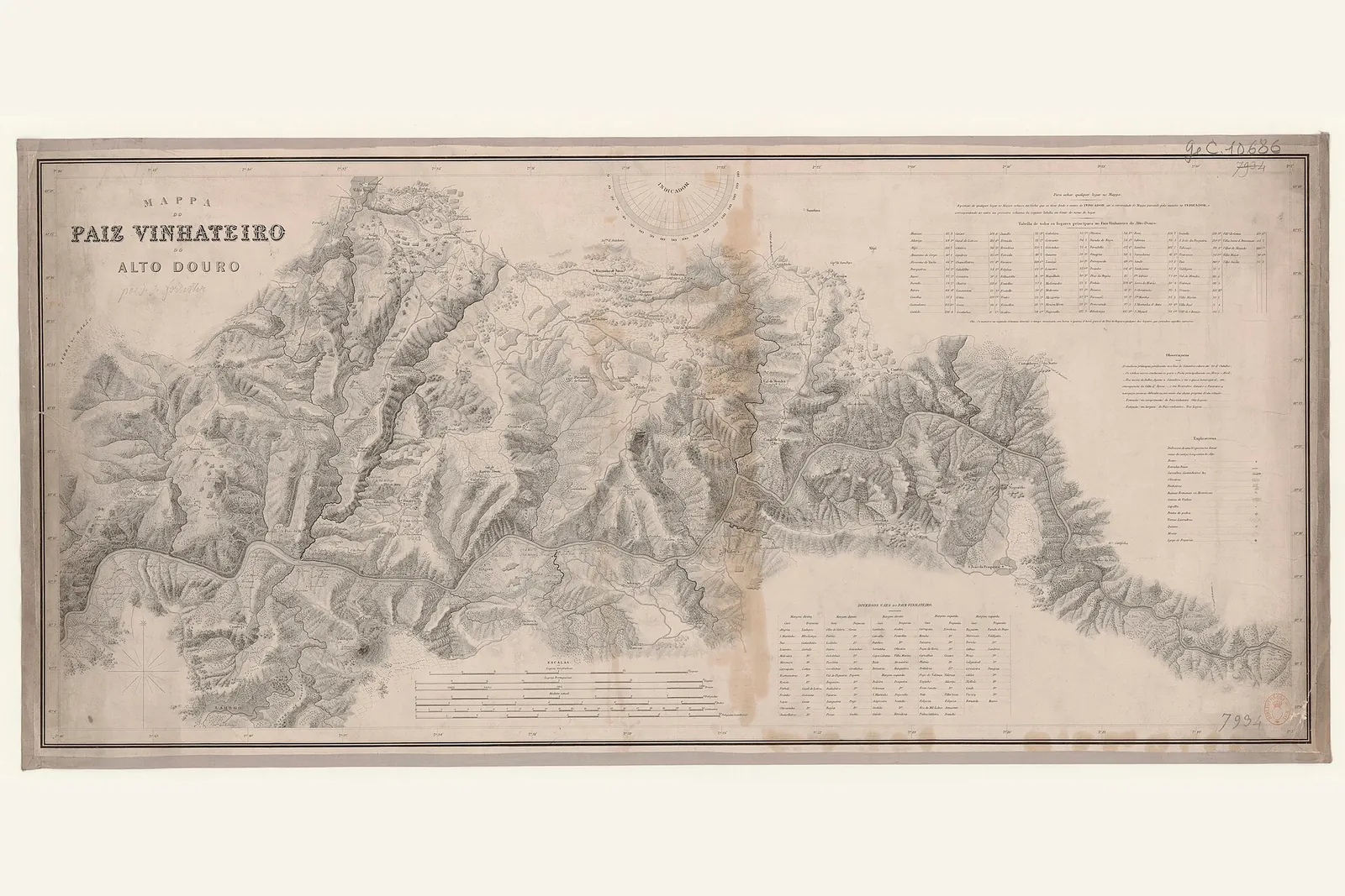
Baron Forrester’s map of the Douro
In the mid-nineteenth century, the Scotsman Joseph James Forrester surveyed the first detailed map of the Douro. This historic map is referenced in the design of the Palato do Côa bottle itself.
Read →
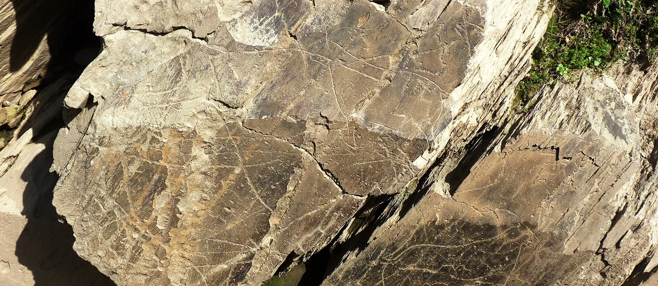
The Côa Valley that gives the wine its name
The River Côa, a tributary of the Douro, runs through Vila Nova de Foz Côa and Muxagata. On its banks lies one of Europe’s largest open-air galleries of Palaeolithic rock art — a UNESCO World Heritage Site.
Read →
Touriga Nacional: the variety that completes the map in the Côa
In a house whose finest reds come from a plot where 46 varieties grow side by side, this one is bottled alone: its own parcel, a lagar with a net that holds the solids down, and served at 12–14 °C when the other reds go at 15–18.
Read →