The Côa Valley and the Douro Superior: schist, limestone and temperature range
Palato do Côa was born in Muxagata, in the Douro Superior, beside the Côa Valley. It is one of the most inland territories of the Douro region — a place of mountain viticulture, dry summers and harsh winters.

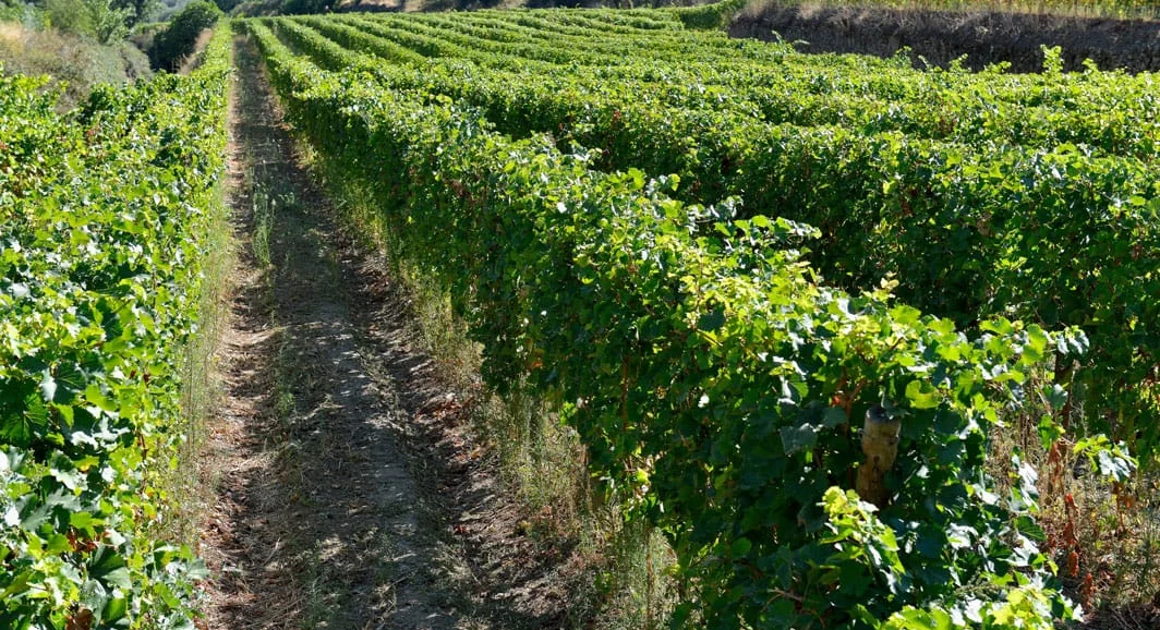
The Douro is divided into sub-regions, and the Douro Superior is the easternmost, the most inland and the hottest. Quinta do Palato sits in Muxagata: vineyard takes 22.7 of the estate’s 38 hectares — the rest is olive grove, almond trees, pasture and the reservoir. Planted, it comes to 20.9 hectares, and four of them are over sixty years old.
Schist, and a rarity running through it
The soil is schist-based — the Schist-Greywacke Complex, the predominant lithology across much of the Douro Demarcated Region: poor, stony, free-draining. What is not common to the whole Douro are the veins of limestone that run through it, above pH 7.0. In a Douro that is almost entirely acidic, that is a rarity, and it is what holds the acidity when the summer bites.
Where the granite surfaces
Granite surfaces on the slopes of Muxagata: it is the Vilariça fault separating the two stones within the same area. The granite is not the vineyard soil — it is the stone of the foot-treading lagar.
Altitude, range and water

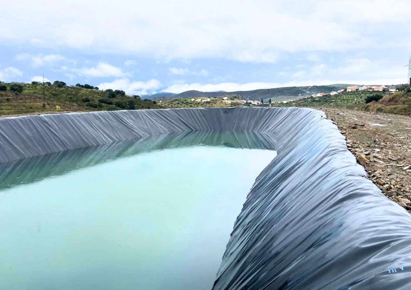
The vineyards lie roughly between 300 and 400 metres, and the slope faces every aspect. Warm days and cool nights give the range that ripens slowly and keeps the acidity. Water is the thing that is not given: the reservoir dates from 2025, it is the largest in Muxagata, and it was no luxury — it answered summers that dry out earlier than they used to.
Our own grapes
Every grape comes from the estate, never bought in. That is what keeps production normally between one hundred and one hundred and thirty thousand bottles a year. Terroir here is not an argument: it is the limit.
Sources: Vineyard area and age: the estate brochure. Geology — schist, the granite of the Vilariça fault and the limestone veins above pH 7.0: the winemakers’ knowledge base. The altitude comes from this site’s own fact table and has no closed source, hence “roughly”. The reservoir and the annual production are confirmed by the estate.